Metadata: MetaUseful & MetaCreepy
This article was originally posted on Arms Control Wonk.
One of the easiest and most useful methods for an open source analyst is to extract metadata from imagery.
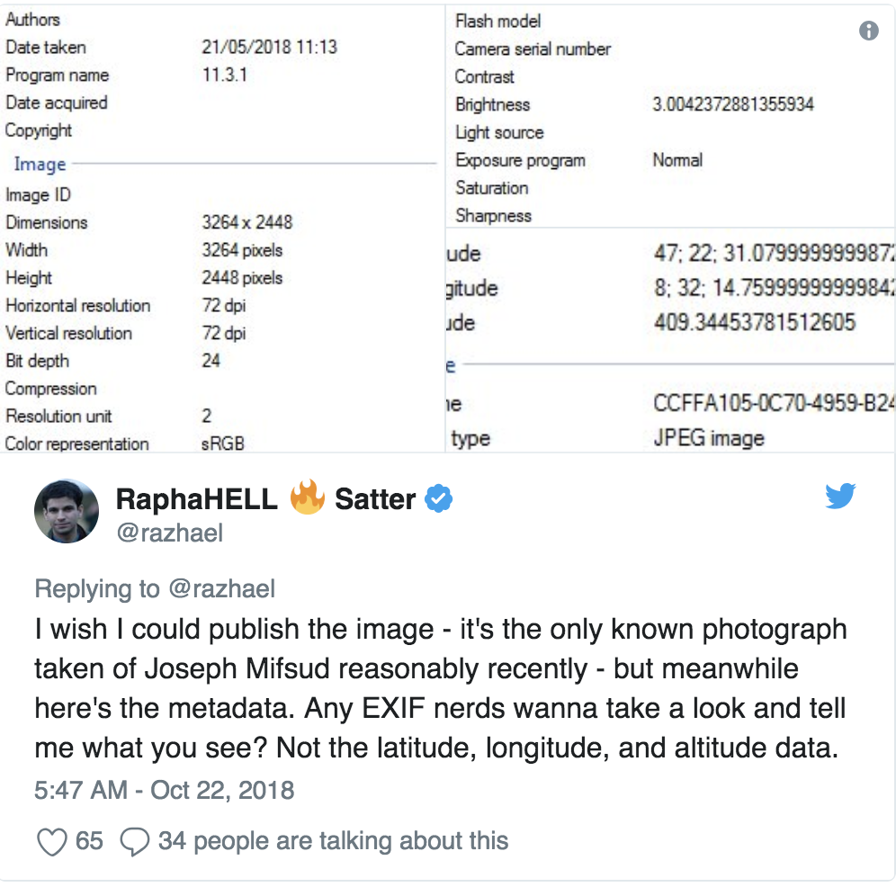
Metadata is data that is often included with an image, such as the time it was taken, the type of camera that was used, and yes, if you are lucky — GPS coordinates. This data is useful for photographers, those who like to stalk cats, and people like us: geolocators and myth-busters.

There are many different types of metatadata, some generated by cameras or phones, and others generated by editing software like Photoshop. Extracting metatadata can not only give you clues about when and where the image was taken, but also about whether it was altered. Last, if you are trying to generate a 3D model from a 2D image, it can give you some clues about the distance the object is from the camera.
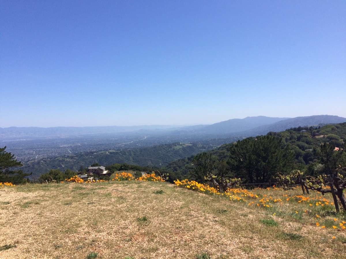
Last week I posted an image to ArmsControWonk.com, challenging fellow wonks to geolocate the image. There were some grapevines and California poppies in the picture, but if you hadn’t been there before, it would have taken some time to find the location. That’s why your first step should always be to check for metadata.
Photoshop is a good tool for extracting metadata, but if you are looking for free options, there are plenty. Try copying the above image’s URL and pasting it into one of the below.
This site has some nice extras, though they are not always accurate. It will try to give you an approximate address, a color histogram, and a circle of confusion if possible. You can see that the geolocation is close, but not quite accurate. Also, the viewer shows the photographer facing the wrong way.
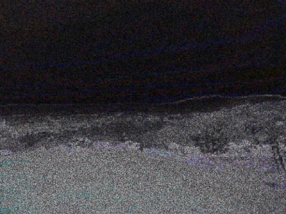
This site is cool, because in addition to the regular metadata it will give you an Error Level Analysis (ELA). ELA lets you see when the compression rate of the image changes. So if something is “airbrushed” or pasted, stretched or cropped, you can see a difference.
No obvious alterations here, but you can see a faint grid pattern (cross your eyes like you are looking at a stereogram) showing that the jpeg was likely resaved.
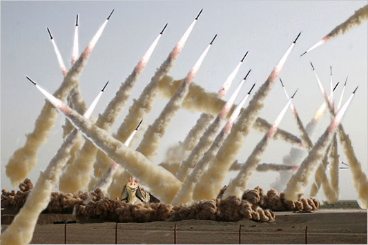
Why worry if an images is altered? Because: Russia, North Korea, Iran, Burma…
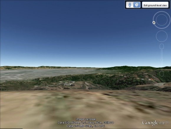
Fortunately for us, nothing has replaced the wonk yet! As helpful as the metadata from the geo quiz photo was, it wasn’t 100% accurate. It will put you within a few meters of where the photographer was standing, but it’s still best to go to Google Earth to fine tune the coordinates and the direction of the camera.
Ah yes, now imagine a glass of chardonnay in your hand!
