Bellingcat Can Now Access Specialised Satellite Imagery. Tell Us Where We Should Look
Our team has purchased a subscription to Planet Labs, a private company whose satellites can capture 50cm resolution imagery of anywhere on Earth within a few days of a tasking request. Just a few years ago, satellite imagery of this quality was largely unavailable to the non-profit and independent researchers who play a key role in Bellingcat’s work.
We intend to regularly collect suggestions for where this tasking should be directed, then publish the resulting image for all to access and analyse. To inaugurate this exciting new resource, we’ll soon launch a Twitter poll that will pit our four favorite suggestions against one another; the winning suggestion will be tasked and the image published.
If you would like to suggest a location for satellite tasking, please be as specific as possible and include the following details:
- Direct coordinates of the location (right click the spot on Google Maps to view and copy them).
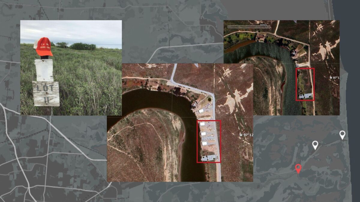
- Either a screenshot of the desired spot or a direct link to the location on a mapping service, such as Wikimapia or Google Maps.
- An explanation for why Bellingcat should take an image of this site — and why others might find it interesting and useful. Alternatively, a link to a media article can also be provided to demonstrate newsworthiness and relevance.
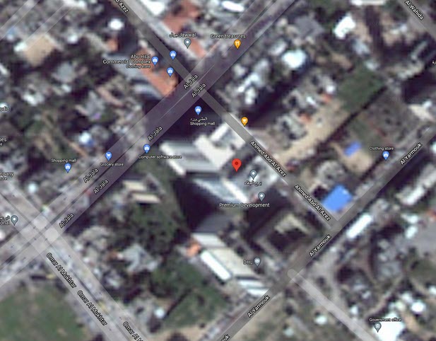
For example, a submission for the al-Jalaa building in Gaza City — destroyed in an Israeli airstrike in May 2021 — could be structured as such:
- 31.5148, 34.4523
- https://www.google.com/maps/place/31%C2%B030’53.3%22N+34%C2%B027’08.3%22E/@31.5145863,34.4520354,476m/data=!3m1!1e3!4m5!3m4!1s0x0:0x0!8m2!3d31.5148!4d34.4523
- https://www.theguardian.com/global-development/ng-interactive/2021/jul/28/countdown-to-demolition-the-story-of-al-jalaa-tower-gaza-israel-palestine
We prefer that you send these suggestions as replies to our Twitter thread. However, you can also email them to satellite (at) bellingcat (dot) com at any time.
This opportunity is extended in the spirit of our dedication to covering subjects in the public interest and enriching the tools and resources available to open source researchers. Therefore, there are few restrictions on locations that can be tasked.
This is also not an unlimited resource and we have to be stringent about the number of taskings we undertake. It will (unfortunately) not be possible to fulfill every request or suggestion.
Nevertheless, we stress that we are happy to accept recommendations for taskings of any country, including military bases and other locations sensitive to a state’s national security.
Some potential ideas that have already been crowdsourced from Twitter include:
- Entries from the censored satellite imagery list on Wikipedia
- A US drone base in Agadez, Niger
- A prison camp in Humera (western Tigray, Ethiopia)
- The destroyed Julfa Cemetery in Nakhchivan, Azerbaijan
- The coast of the Faroe Islands following the recent slaughter of 1,400 dolphins.
We look forward to receiving your suggestions and welcome any questions or comments about this new resource.


