New July 17th Satellite Imagery Confirms Russia Produced Fake MH17 Evidence
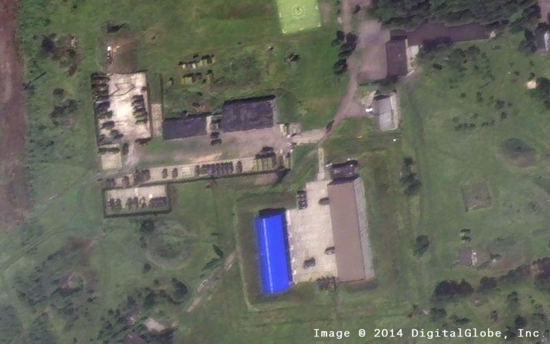
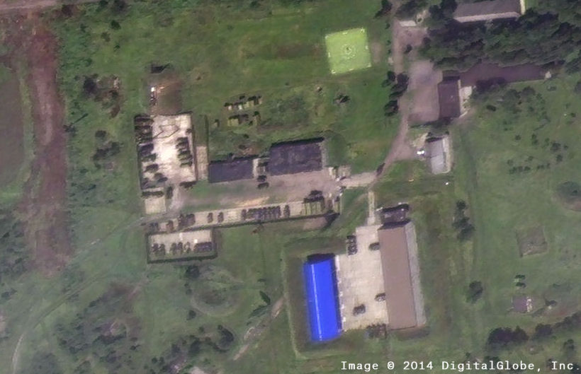
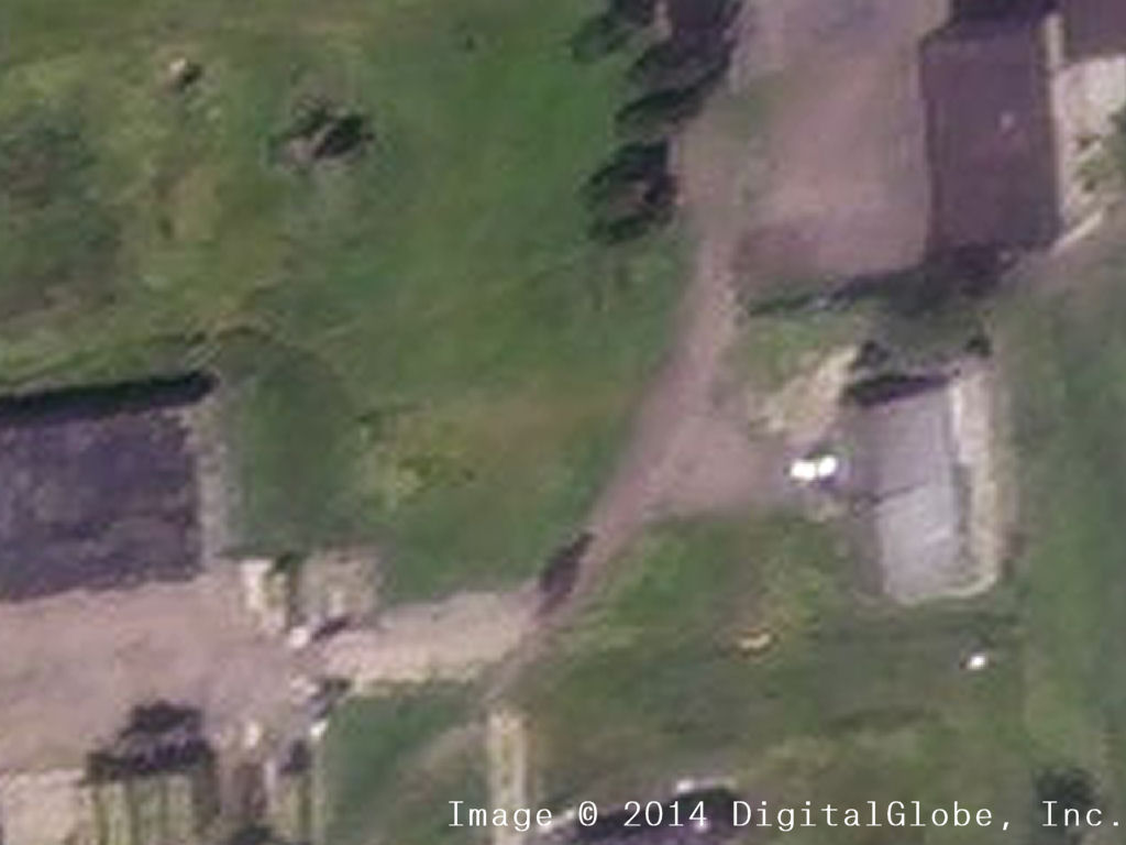
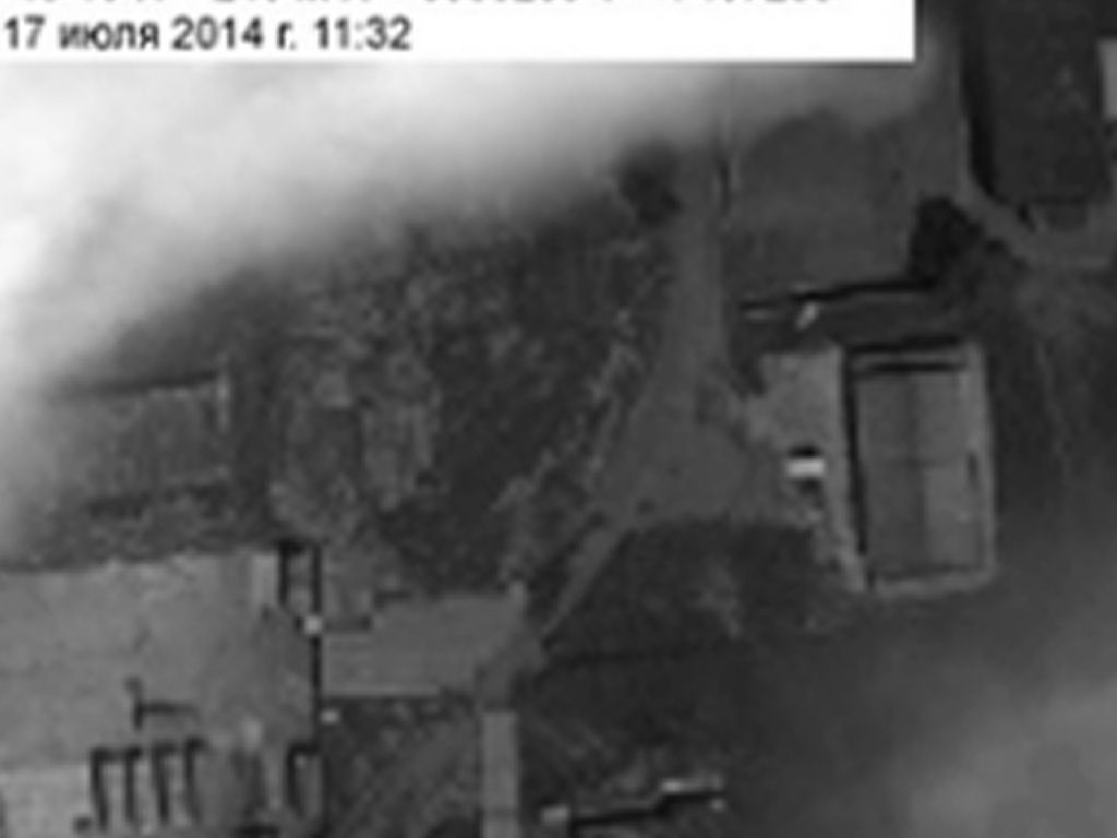
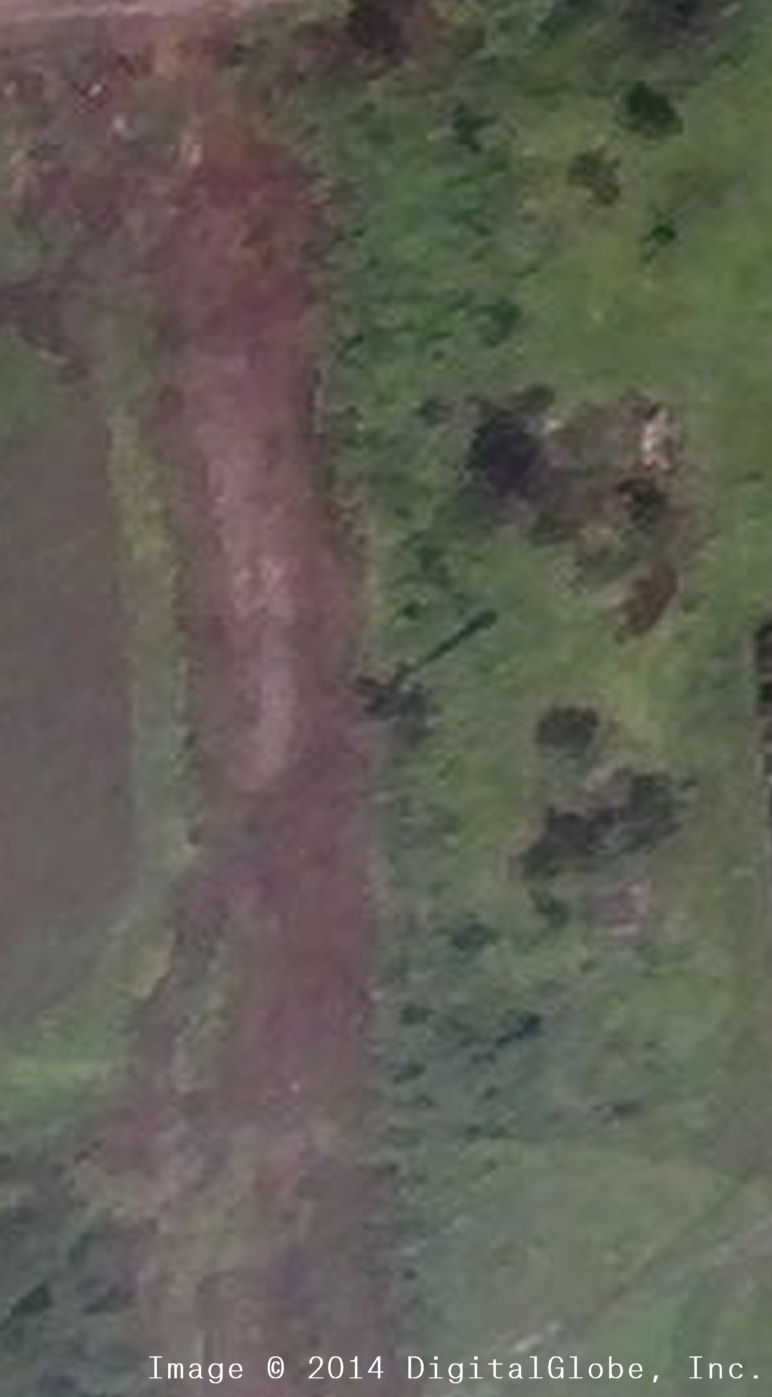
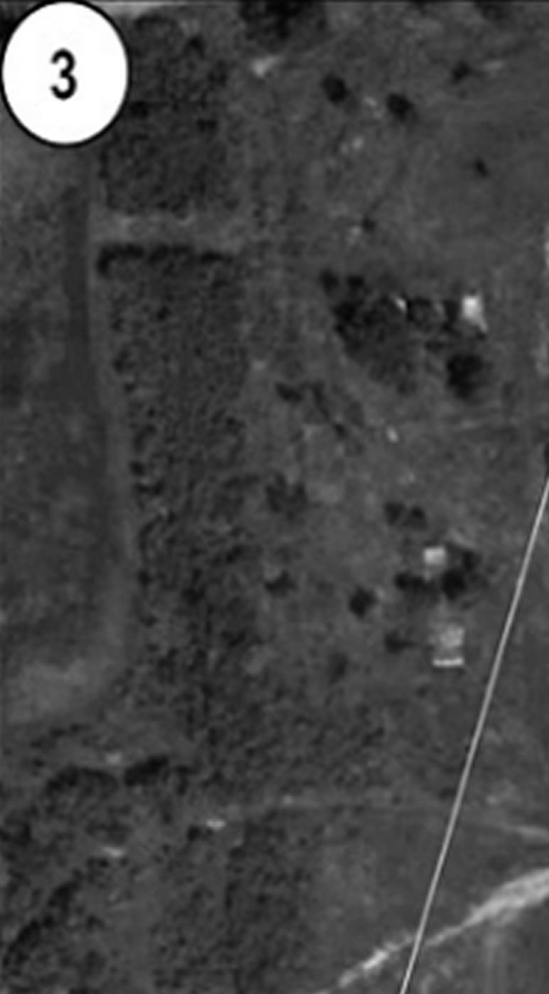
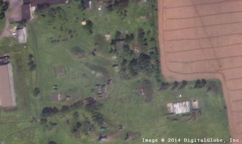
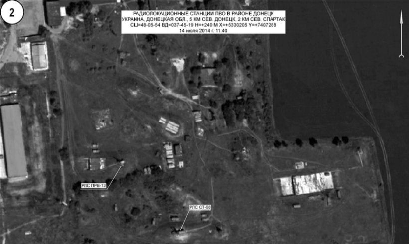
In Bellingcat’s 31 May 2015 report, Forensic Analysis of Satellite Images Released by the Russian Ministry of Defense, the Bellingcat investigation highlighted a number of discrepancies between the satellite images presented by the Russian Ministry of Defense and Google Earth satellite imagery from 2 July 2014 and 21 July 2014. Thanks to donations by Bellingcat readers it has now been possible to purchase satellite imagery from Digital Globe dated 17 July 2014 and collected at 11:08 a.m. local time of one of the sites shown in the Russian Ministry of Defense imagery.
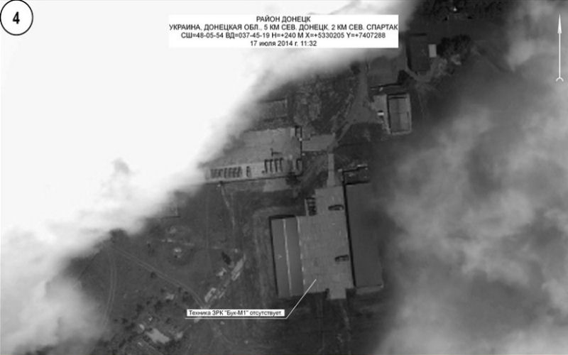
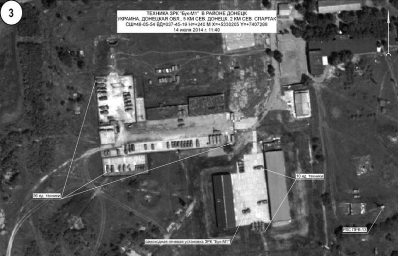
This is the first known purchase of 17 July 2014 satellite map imagery from this location, and comparison between the Digital Globe imagery and imagery Russian Ministry of Defense imagery shows there are clear discrepancies between the imagery. In addition to those discrepancies there are also clear similarities between the Russian Ministry of Defense imagery and the Google Earth historical satellite imagery from May and June 2014, which are not present in the July Google Earth and Digital Globe imagery. This clearly demonstrates that the imagery presented by the Russian Ministry of Defense is from before July 2014, confirming they produced false satellite imagery at their 21 July 2014 press conference on the downing of Flight MH17.
The full report can be read here, and is also available in Russian and German.
Below are interactive comparisons between the Russian Ministry of Defense imagery and the Digital Globe 17 July 2014 imagery.
