Example Application: Grid Generator
What do you want to build and why?
Currently, researchers can find it difficult to track their geolocation searches. Repeated searching of the same area can be time consuming and frustrating.
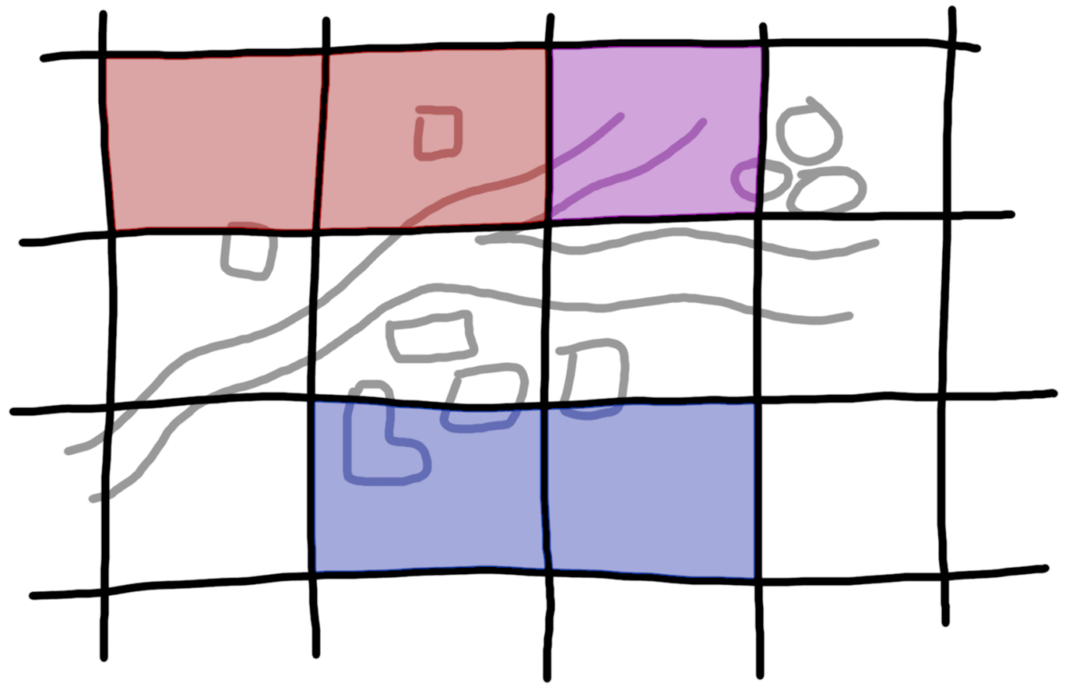
I would like to build a grid generator that solves this problem by letting researchers place a grid over their search area to track the areas they have already searched.
The grid generator will be simple to use and understand. Researchers select an area of interest from an embedded map and download a gridded KML file for use in Google Earth and other GIS programs. The KML file will let researchers mark grid squares as searched by changing the background colour of each grid square.

This tool will support researchers to be efficient with their geolocation searches, and will help groups of people coordinate searches.
I plan to build the tool using free and open source software, in a way that has no hosting or other ongoing costs. To make it more durable it will not depend on external services.
What is your development plan?
January
- Share project with community to gather ideas
- Build simplest possible application with Vuetify
February
- Share internally for testing and to gather feedback
- Add features of interest to the community
March
- Fix bugs and address feedback from user testing
- Transfer the code to the Bellingcat GitHub and deploy the tool
- Promote the tool by recording a video for the Bellingcat tech series
Who are you and what are your relevant skills?
I worked for 5 years in engineering research and development, and have some experience building prototype web apps with Vuetify and working with projects on GitHub.
A previous project of mine (deployment, code) explored using Pyodide for signal processing in the browser with a Vuetify interface, so I am confident I have the developer skills needed for this project.
I am community-minded, and developed the idea for this project with the Bellingcat Discord. I am keen to share this tool with the community to gather feedback and improve it further!
I have worked with geospatial data, and am confident with the mathematics of coordinate transforms, which may become relevant depending on how the scope of the tool grows after my initial implementation of the tool.